

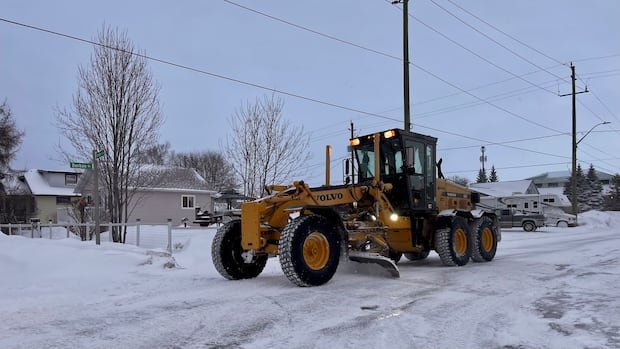

Environment and Climate Change Canada has issued alerts for heavy snowfall in parts of northwestern Ontario, with anticipated amounts ranging between 10 to 20 centimeters in the region. The warning alerts, categorized as yellow-level, were initially announced late on Wednesday, with weather conditions expected to commence on Thursday afternoon and persist until Friday morning.
According to the advisory, a Colorado low-pressure system is forecasted to bring snow to the specified areas, with the most intense snowfall anticipated on Thursday night. The regions affected by these warnings include Atikokan — Shebandowan — Quetico Park, Beardmore — Jellicoe — Macdiarmid, City of Thunder Bay, Cloud Bay — Dorion, Geraldton — Longlac — Caramat, Gull Bay — Black Sturgeon Lake, Kakabeka Falls — Whitefish Lake — Arrow Lake, Manitouwadge — Hornepayne, Marathon — Schreiber, Nakina — Aroland — Pagwa, Nipigon — Rossport, and Wawa — Pukaskwa Park.
Drivers and pedestrians are advised to expect challenging travel conditions due to accumulating snow, potentially leading to reduced visibility and the likelihood of road closures. The warning further cautions individuals to prepare for rapidly changing and worsening travel circumstances. Peak snowfall rates of two to three centimeters per hour are possible, with heavy snow and local blowing snow expected intermittently.
Earlier in the week, special weather notifications were released for a significant portion of the area as a Colorado low was projected to bring between 10 to 15 centimeters of snow from Monday night through Tuesday evening. The public is urged to stay informed with updates from Environment and Climate Change Canada. Reports of severe weather can be submitted via email to ONstorm@ec.gc.ca or by using the hashtag #ONStorm on social media.