

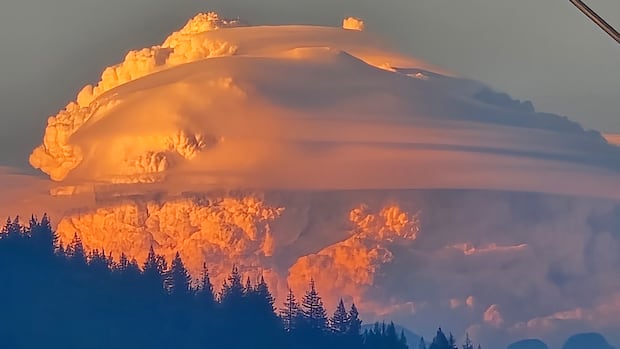

Images of massive, cauliflower-shaped clouds are surfacing on social media from the Vancouver region, which experts identify as pyrocumulus clouds formed by a wildfire located over 200 kilometers away.
According to the B.C. Wildfire Service, the Anderson Creek fire was detected by aircraft that were addressing another nearby blaze on Tuesday and rapidly intensified due to strong winds.
Matt Loney, a meteorologist with Environment Canada, notes that every fire produces significant heat, and it appears that the Anderson Creek fire “really took off.”
Social media posts on Tuesday displayed tall cumulus clouds hovering over darker smoke plumes, with photographs taken as far away as Coquitlam, approximately 220 kilometers distant.
Loney explains that anything sufficiently hot to create strong convection currents will result in these clouds, which occur as hot air rises quickly and moisture condenses.
He likens it to opening a freezer door on a hot summer day, where fog flows downward.
“Basic science indicates that heat ascends in the atmosphere, while cold air descends,” Loney stated.
“Heat naturally seeks to rise as it aims for stability since it is less dense.”
-
Lytton, B.C., hits 41 C, hottest temperature in Canada this year
-
Extreme heat, wildfire smoke prompt weather warnings across B.C.
According to Loney, these clouds contain various particulates, including burning embers, dust, and ashes.
“All of that is visible to the naked eye, and once it reaches a temperature where it is warm enough — so that it does not rise any further — it will spread out horizontally,” Loney explained.
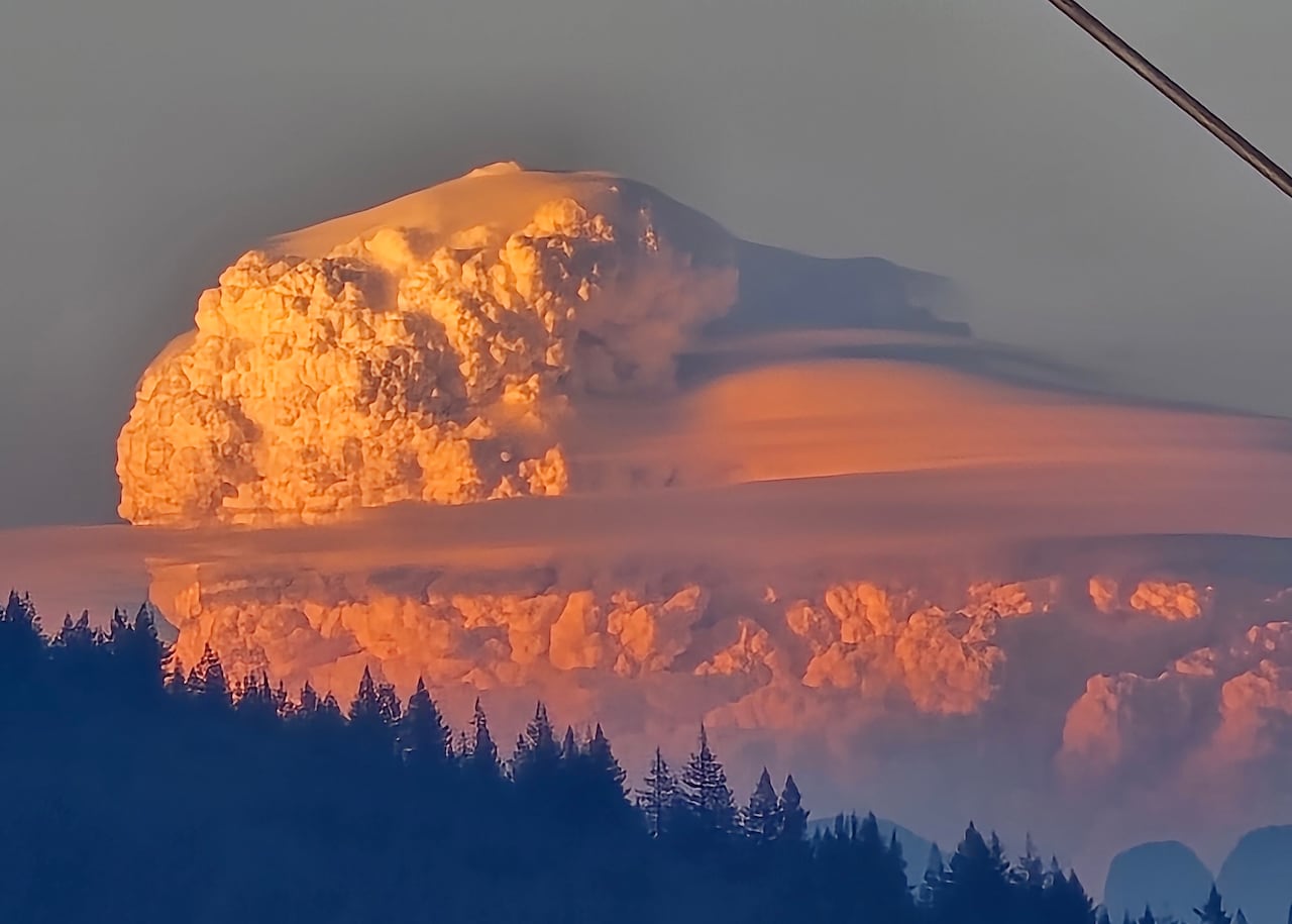
Matt Loney from Environment Canada states that anything hot enough to generate strong convection currents will lead to the formation of these clouds, created by rapidly rising hot air as moisture condenses. (Submitted by @Brad604/X)
The natural event stemming from the fire near Boston Bar signifies not just the intensity of heat but also the atmospheric instability, as the cloud ascended vertically instead of spreading horizontally, making it observable from many viewpoints, according to Loney.
Rachel White, an assistant professor of atmospheric sciences at the University of British Columbia, remarks that images of clouds from the Fraser Canyon are both awe-inspiring and alarming.
White mentions she has not encountered these pyrocumulus clouds but would be scientifically curious to observe one.
“Experiencing the sheer power of these wildfires would be both fascinating and truly intense,” White expressed.
She highlights a remarkable fact that these clouds can generate thunderstorms with lightning, which could potentially trigger additional wildfires.
“This aspect poses a significant danger. However, whether a cloud system will [produce lightning] is largely contingent on the specific conditions present in that area,” she added.